


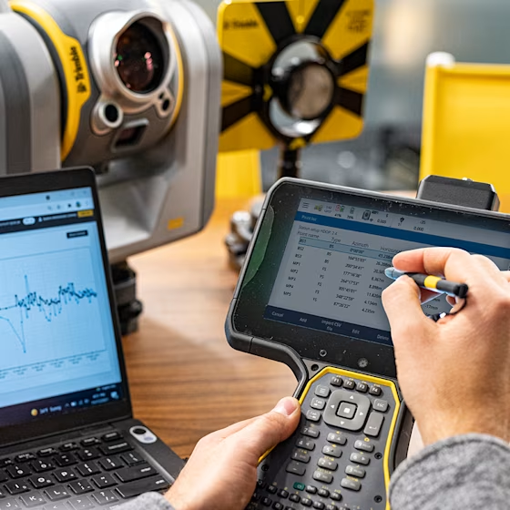
Industry overview
Surveying & mapping
Nothing gets built without surveying
Shape landscapes with quality solutions and connected workflows from Trimble.
Surveying and mapping
Cadastral &
boundary surveying
Map and define land ownership with accuracy.
Definitively confirm property boundaries and ensure effective land management. Learn how Trimble solutions enable you to own the process with confidence.
Trimble technology empowers you to delineate and demarcate land parcels with certainty. Our seamless and connected workflows will create the lasting documentation that will distinguish your survey value and land you more business.
From field work planning to defining and establishing physical boundaries, Trimble solutions give you complete, connected workflows to precisely and safely record land positions and dimensions—in one trip to the field.
Surveying and mapping
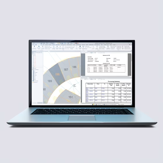
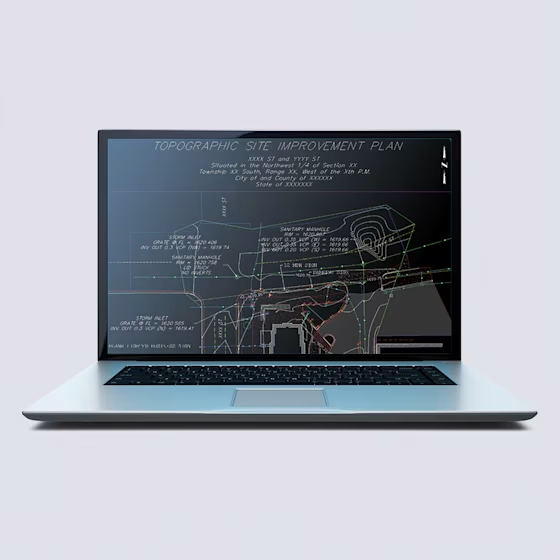
Topographic survey
Guarantee accuracy in everything you deliver.
Trimble leads the survey industry with quality, productivity and reliability. For any project, we deliver speed, safety and accuracy. You deliver excellence.
Trimble solutions enable you to quickly capture and integrate topographic data into CAD and GIS software—seamlessly. Whatever your workflow, Trimble will always ground you in accuracy, efficiency and reliability.
Surveyors provide the foundational data for planning and designing safe, efficient and accurate outcomes. That’s why so many surveyors put their trust in Trimble technology. Our solutions enable you to efficiently capture a site’s physical features and then deliver accurate, digitized data of the physical world, no matter the shape, size or terrain. Surveying is better when you topo the Trimble way.
Surveying and mapping
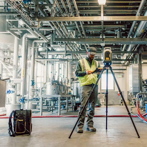
Reality capture
Capture what you see.
Accurate, photorealistic worlds require exact data. Our advanced software, scanning and imaging solutions let you map the world—exactly how you see it.
We live in 3D. We should work in 3D. With Trimble reality capture solutions, you can capture any object as-is—accurately, safely and efficiently, with the detail to see more, the awareness to understand more, and the space to confidently build.
Our advanced 3D technology lets you capture data with confidence and produce results you can trust. Whether you’re doing a topographic survey, as-builts, or creating digital twins, Trimble solutions empower quick, cost-effective and accurate data capture—from texture to color information and everything in between—so you can provide the most realistic model of any environment, every time.

Surveying and mapping
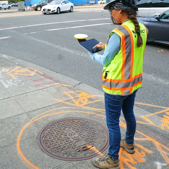
Stakeout surveying
Marks you can stand behind.
Stake out with Trimble solutions that give you real-time confidence, real-time productivity and real-time results for any type of project.
The high-pressure stakeout process demands meticulousness and speed. That’s why surveyors put their trust in Trimble technology that’s as field-ready and reliable as you are. When you’re holding Trimble, you’re holding efficiency and accuracy.
Everything you do must be done with accuracy—or your credibility is on the line. Stakeout surveying requires total trust and accuracy in equipment and workflows to ensure marks are located correctly to avoid costly errors or rework. If you’re looking to improve productivity in the field without compromising data efficiency or team safety, opt for Trimble. It’s as dependable as you are—so you can make your mark with confidence.
Surveying and mapping
Asset data capture & inspection
Manage what you measure.
Your work product defines your reputation. With Trimble, you can rely on unparalleled accuracy and quality for your asset data collection and management needs.
From acquisition to retirement, Trimble solutions provide trusted accuracy and reliability. Informed with precise asset information at your fingertips, you’ll make the right decision at the right time to maximize your assets’ life cycles.
Whether managing assets, responding to outages or conducting routine maintenance, Trimble solutions bring field operations and office application together seamlessly. One streamlined workflow for every stage of your asset’s life cycle.
Surveying and mapping
Monitoring
Monitoring never sleeps.
Detect movement automatically and confidently with Trimble Monitoring. It’s always ready and always on alert.
Trimble provides trusted technology to tackle monitoring project challenges. Our solutions offer real-time data, improve site safety and enable you to detect movement with confidence.
Whether it is monitoring a bridge, dam or mine, professionals rely on Trimble for scalable, flexible and accurate solutions that ensure structural stability and operational efficiency. Providing periodic and real-time, precise and consistent detail on movement, Trimble Monitoring technology is always on-site—even when you are not.
Surveying &
mapping
Trimble is transforming how surveyors work. Our comprehensive suite of advanced surveying and mapping solutions empowers you to capture, manage, and analyze high-precision geospatial data with efficiency and ease.