- Dimensional
Metrology
Products - Handheld
3D Scanner - Terrestrial 3D
Laser Scanner
Dimensional Metrology Products
The company established in 2009 with a focused approach to serve best-in-class 3D laser scanners
and related software, solutions and services to various industries
Dimensional Metrology
Products
Discover how our 3D scanners can help you gain a competitive edge, cut the time and costs associated with product development, and optimize production processes.
Read More
Metallurgy
Products
Material Testing Machines like Pendulum Impact, Universal, Torsion, Fatigue, Tensile, Spring Testing Machines and several types of Hardness Testers like Rockwell, Brinell and Vickers Hardness Testers
Read More
Fein Power Tools
As a power tool specialist, FEIN is a strong partner for all demanding metal and wood working representing the highest quality around the world. We are proud to produce tools that are robust, powerful and “Made in Germany.” FEIN power tools are always designed with the requirements of the user in mind, and this is the only way to create tools that meet the high standards of our customers.
Read More
Terrestrial 3D
Laser Scanner
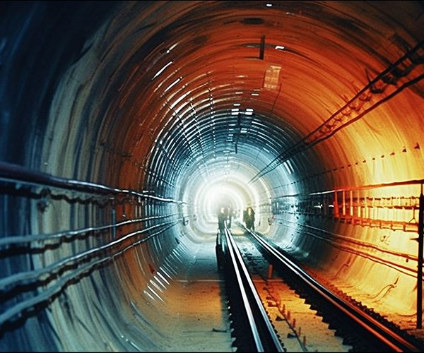
Whether you’re delivering scan data of as-built conditions, performing comprehensive data analysis or creating a renovation model based on an existing structure, Trimble 3D scanning solutions provide accuracy, range and durability with easy-to-use software for control and review of your scan data in the field.
Read More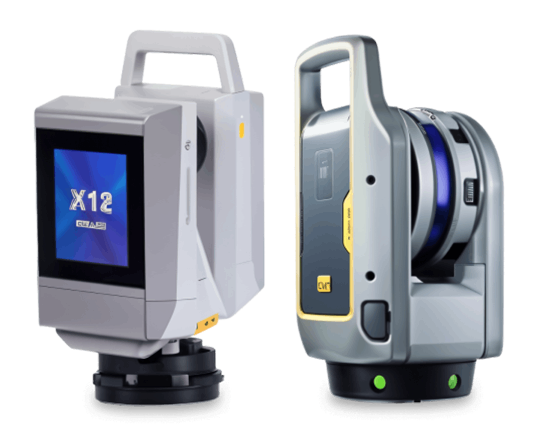
Scanning
Services
High-precision 2D/3D inspection and scanning for accurate measurements and quality assurance. Ensuring reliable results for complex geometries.
Read More

HandySCAN
3D BLACK Series
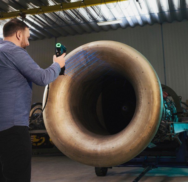
HandySCAN 3D|BLACK Series is the fastest portable metrology-grade 3D laser scanner on the market, offering the highest measurement rate and accuracy available. It’s ideal for product development and quality control.

Accuracy
0.025 mm (0.0009 in)
Measurement Resolution
0.025 mm (0.0009 in)
Volumetric Accuracy
0.020 mm + 0.015 mm/m (0.0008 in + 0.00018 in/ft)
Part Size Range
0.05 – 4 m (0.15 –13 ft)
Measurement Rate
1,800,000 measurements/s

MICRO-HITE
This high-end instrument is intuitive due to a clear and refined user philosophy of its embedded software and allows measurements in 1 or 2 coordinate directions.

Measuring Force
1,6 ± 0,25 N
Resolution
0,0001 / 0,001 / 0,01 mm
.00001 / .0001 / .001 in
Coefficient of linear expansion
11,5 x 10⁻⁶ K-1
Function(s)
Measuring probe can be manually displaced with a displacement wheel Air cushion system
Data output(s)
TLC, USB

Manual Video Measuring system
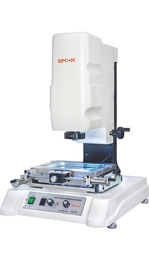
Video Measuring Machine is also known as Vision Measuring Systems, is used for quick and accurate 3d measurements of small parts with Video edge detection technique.
Measuring Range-Standard
150mm X 100mm X 100mm
Measuring Range-Optional
X-axis upto 500mm, Y-axis upto 400mm, Z-axis upto 300mm
Resolution
0.005/ 0.001/ 0.0005/ 0.0001mm
Linear Accuracy
(3+L/200) micron
Vision
1/3" High Resolution CCD Camera

Peel 3 3D scanner
Peel 3 can handle any application in: aftermarket & tuning, AR, VR & digital content, education, heritage preservation and art, product design, healthcare, and MRO and engineering.
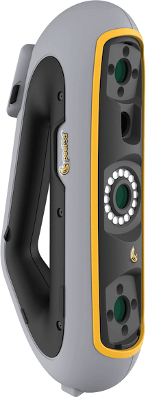
Accuracy
0.250 mm/m, up to 0.1 mm (0.003 in/ft, up to 0.004 in)
Measurement Capabilities
Pin - 1.5 mm (0.059 in) , Hole - 3.0 mm (0.118 in)
Step - 0.1 mm (0.0039 in) , Wall - 1.0 mm (0.039 in)
Measurement rate
1,250,000 measurements/s
Scanning area
340 x 475mm (13.39 x 18.7 in)
Dimensions
304 x 150 x 79 mm (12 x 5.9 x 3.2 in)

Trimble X9
The Trimble® X9 3D laser scanning platform leverages proven Trimble technology to deliver the range, accuracy, speed and sensitivity you need to do more. With flexible licensing plan options, choose the scanning functionality that fits your project needs.

Scan speed
Up to 1000 kHz
Scan range
0.6 m to 150 m
Scan times
< 1 min to 6 min
Auto-calibration
No targets or user interaction for accuracy on every scan
Operating temperature
-20°C to +50°C (–4°F to 122°F)

Digimar 817 CLT
The MarSurf PS 10 is a practical roughness measuring unit for mobile use. Using a smartphone-like 4.3" TFT touch screen display, operation is fast, intuitive and user-friendly.

Measuring range
4429600 - 0-350 mm | 4429601 - 0–600 mm | 4429602 - 0-1000 mm
Application range from
4429601 - 170 mm
Resolution
0.01, 0.005, 0.001, 0.0005, 0.0001 mm
Measuring force
1.0 +/- 0.2 N
Error limit
(1.8 + L/600) L in mm
K.K. Geosystem has left its mark as a star distributor by providing 3D Scanners, 3D Software, 3D Printers & more in Indian market.
KK Geosystem Pvt. Ltd., established in 2009, is a premier distributor of advanced 3D coordinate measuring machines and laser scanning technologies. With over a decade of experience, we have built a reputation as a trusted partner, providing high-quality solutions tailored to the evolving demands of industrial and engineering sectors.
Looking for the portable
3D scanner that offers the
most value for your money?
using the HandySCAN 3D|SILVER Series in your application.
scanning Services

Inspection
Services
We utilize advanced tools like portable CMM services, handheld 3D laser scanners

Reverse
Engineering
From intricate parts to complex systems, our skilled team employs state-of-art technologies

Cad
Modeling
Empower your design processes with our CAD modeling services.
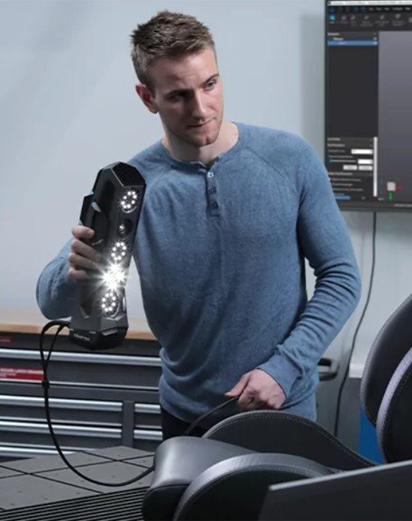

Product
Development
Bring your ideas to life with our expert 3D modeling services, utilizing the latest tools

Protable
CMM & ScanArm
Achieve unparalledled accuracy in measurement with our portable Coordinate Measuring Machine (CMM) ScanArm service.

VFX
Scanning/CGI
Prototyping and product development for Visaul Effects (VFX) with our scanning services
valued clients
Lorem ipsum dolor sit amet, consectetur adipiscing elit, sed do eiusmod tempor incididunt ut labore et dolore magna aliqua. Ut enim ad minim veniam, quis nostrud exercitation ullamco laboris nisi ut aliquip ex ea commodo consequat. Duis aute irure dolor in reprehenderit in voluptate velit esse cillum dolore eu fugiat nulla pariatur. Excepteur sint occaecat cupidatat non proident
sunt in culpa qui officia deserunt mollit anim id est laborum.Sed ut perspiciatis unde omnis iste natus error sit voluptatem accusantium doloremque laudantium, totam rem aperiam, eaque ipsa quae ab illo inventore veritatis et quasi architecto beatae vitae dicta sunt explicabo. Nemo enim ipsam
